Punjab to Display Land Maps for Public Verification
Authorities in Punjab are introducing new measures to improve land record management, aiming to make ownership information more transparent and accessible to the public.
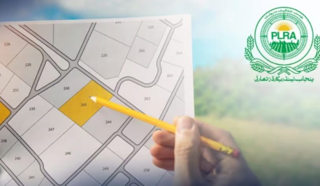
As part of the Punjab Urban Land Enhancement Project, the government has decided to publicly display land maps and ownership records in selected areas. Officials say the purpose of this move is to help citizens verify their property details and correct any errors that may exist in official records.
According to the Punjab Land Records Authority (PLRA), maps and records have been created using data gathered during recent surveys. These documents will be placed in community spaces where residents can review them. If any mistakes are found, citizens will be able to report them and request corrections free of cost.
This initiative has already been introduced in several districts and will soon be rolled out in Lahore and other major cities. Once the verification process is completed, the corrected maps and ownership records will be made available on the PLRA website to ensure wider public access.